
North Hills Herd Management Area
Remote, rugged and inviting, Utah’s southernmost wild horse herd area is named North Hills.
Click here for a printable version of this page.
This HMA is part of the Escalante Desert Loop.

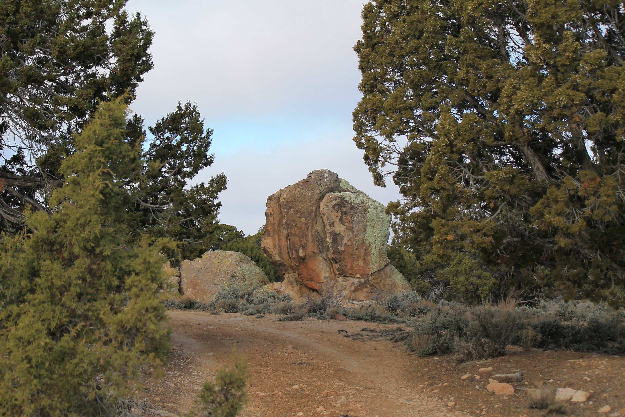
Rock formation amid the junipers inside the North Hills HMA.
Wedged into the southwest corner of Iron County, this herd management area stretches southeastward from the Nevada border just south of Modena, dipping into Washington County a few miles west of Enterprise. This area is very remote and rugged, with roads of soft, often deeply rutted sand punctuated with rough rocky outcroppings. High clearance 4WD is highly recommended.
The information provided below describes the northern area of this HMA, accessed near Modena. Southern areas closer to Enterprise will be documented in the near future.
Getting There
From Interstate 15 in Cedar City, take highway UT-56 west 47.5 miles toward the community of Modena. Take note of the town of Newcastle midway to your destination, as this will be your closest opportunity for fuel and supplies from within the HMA.
The gated entry point is on the south side of the highway almost exactly four miles east of the Main Street turnoff into Modena (just before the bridge across the railroad tracks). You will know it’s the correct road by the way the eastbound and westbound access trails form a Y leading toward the gate. As always, close the gate behind you after entering.
If you miss the turnoff, continue to the Modena Main Street exit and backtrack four miles. Although it may be tempting to enter the area through Modena, the acreage immediately south and east of town is privately owned, and the access road is posted to forbid trespassing. We’ll respect this and access the area through public land.
Viewing Locations
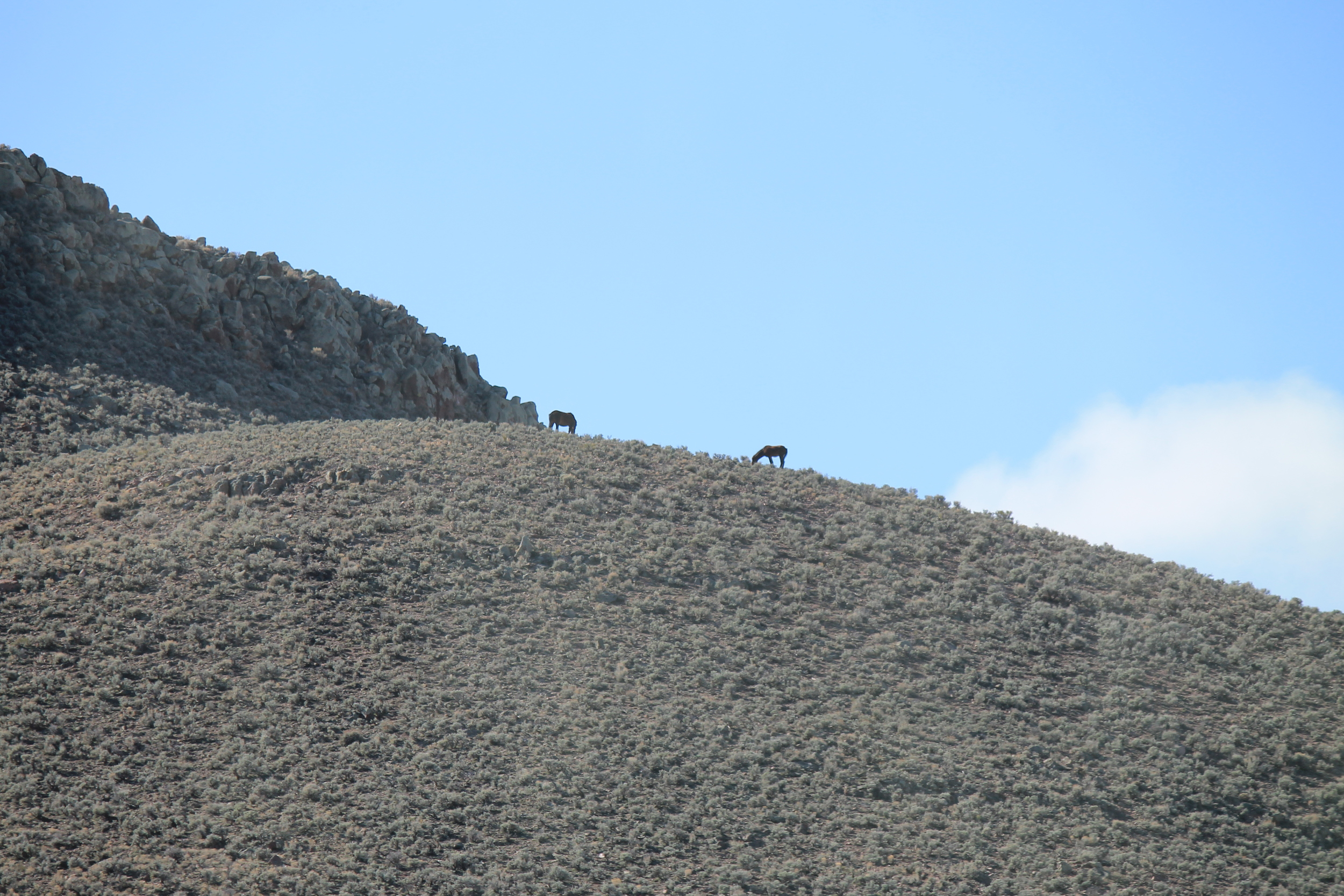
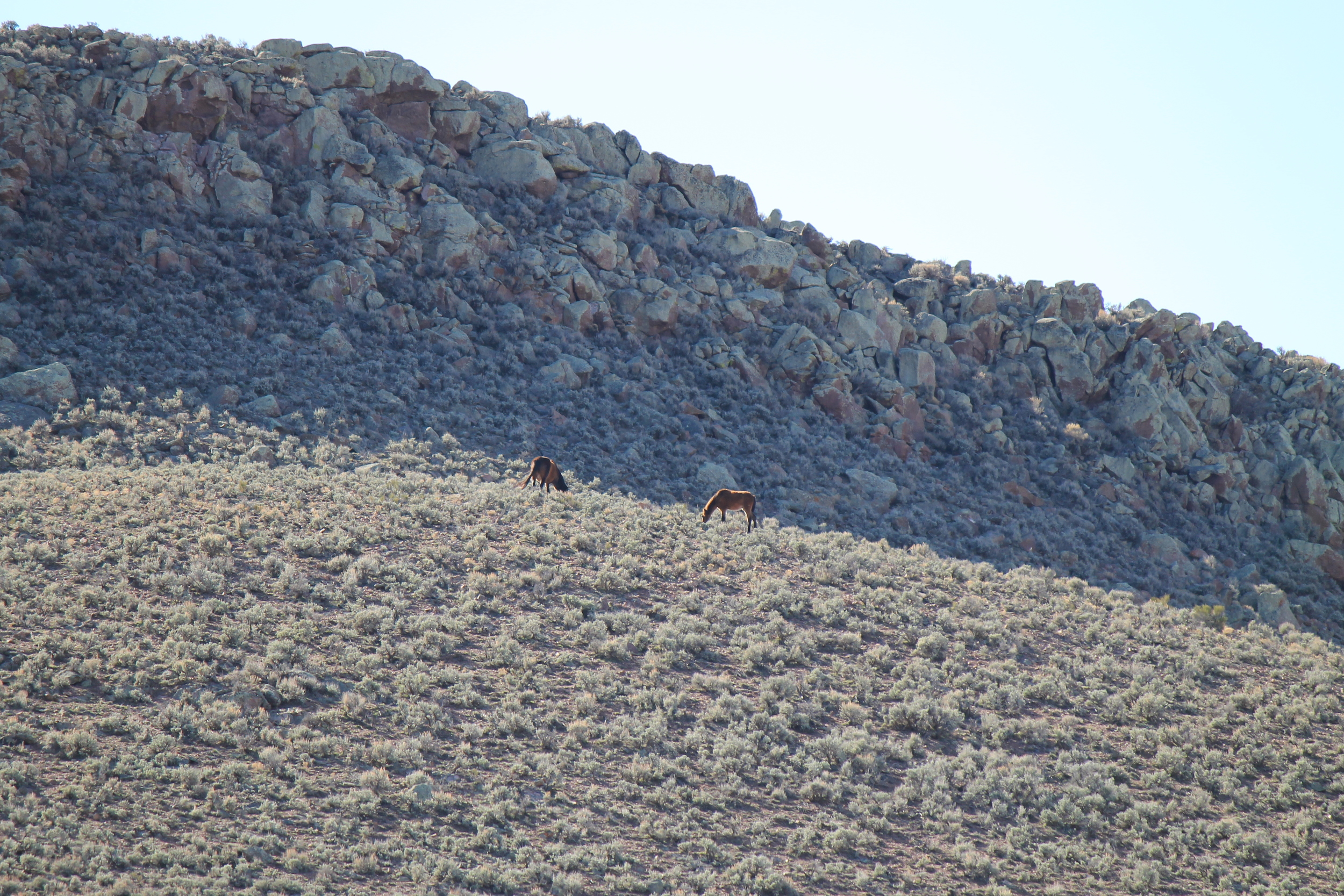
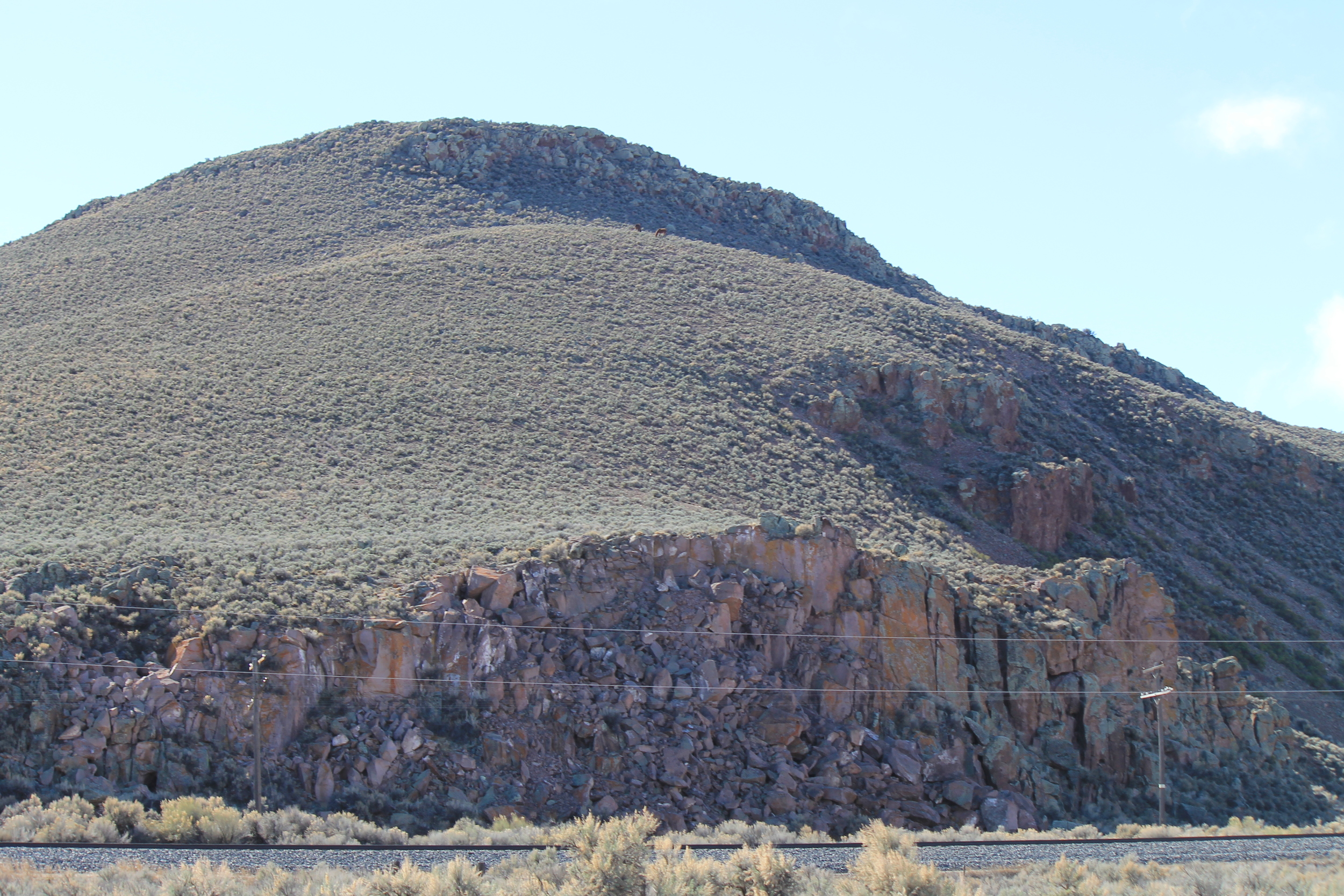
The pair pictured below was spotted grazing high on a hilltop at the northwest perimeter of the HMA. The photos were taken from the opposite side of UT-56, at the Gold Spring exit.
Within the HMA, your best bet is to start at this watering hole:
From the entry gate, proceed southward 1.8 miles to the 1st Fork. Take the right branch, continuing 1.5 miles to the intersection with Old Modena Road. Turn right, driving northeast 3.2 miles to the 2nd Fork. You will encounter another gate ¾ of a mile along this road. Turn left at the 2nd Fork, continuing 0.6 mile to the 3rd Fork. Turn left and follow this road as it winds west, northwest, then westward again to the 4th Fork. Take the main route to the right, ignoring all less-traveled side trails for the next 4.3 miles. At the T-intersection, turn left, following the road as it begins eastward and turns south after about 100 yards. Continue 0.8 mile. Watch for a trail crossing the road near two large trees. Turn right to reach the water hole about ¼ mile in.

Watering hole inside the North Hills HMA.
You will find plenty of evidence of mustangs frequenting this spot. If you are feeling adventurous, their trails are easy to follow in the sandy soil winding through the sagebrush valley behind the spring.
To exit, retrace your route, as the only other exit on this side of the hills is through the private property bordering Modena. If you want to loop around to the eastern slopes of these hills, try this route – but be warned that the road gets very rugged in spots:
Returning from the watering hole to the main road, turn left and follow 3.3 miles, starting south and arcing eastward. When you reach the 5th Fork, take the rougher road to the left. This road start and continue 1.9 miles to the 6th Fork. Keep left through this fork, driving 1.1 mile to the cattle guard, crossing and continuing another 0.9 mile to the 7th Fork. Veering left at the fork, you’ll cross Old Modena Road about 0.8 mile later. Continue through this intersection another 3.3 miles to reach the highway.


Other Points of Interest
Modena, UT was established as a railroad water and fuel station in 1899. Although the development of diesel engines means trains just continue rumbling on down the line these days, this unincorporated community is still home to a handful of families. A few weathered buildings from Modena’s glory days still stand amid the more modern inhabited dwellings.
The Righteous Branch of the Church of Jesus Christ of Latter Day Saints, a small fundamentalist (polygamous) sect, is located just outside this herd area, a few miles east and south of the access gate. I’m not suggesting you stop in and join up. I’m just telling you it’s there.
Key GPS Coordinates
Public lands entrance from UT-56: 37° 46.541' N113° 50.678' W
1st Fork: 37° 45.482' N113° 51.470' W
Intersection with Old Modena Rd: 37° 44.424' N113° 52.749' W
2nd Fork: 37° 46.683' N113° 54.345' W
3rd Fork: 37° 46.861' N113° 54.847' W
4th Fork: 37° 46.664' N113° 56.238' W
T-intersection: 37° 43.951' N113° 58.659' W
Trail crossing (near watering hole): 37° 43.276' N113° 58.634' W
Watering Hole: 37° 43.333' N113° 58.447' W
5th Fork: 37° 42.371' N113° 56.424' W
6th Fork: 37° 43.367' N113° 54.761' W
Cattle guard: 37° 43.758' N113° 53.665' W
7th Fork: 37° 43.762' N113° 52.700' W
Nearest Herd Areas
Mt.Elinore: directly northeast of UT-56
Tilly Creek: 15 miles north
Choke Cherry: 25 miles north
Bible Spring: 30 miles northeast